File:Balls Falls Gorge (6871695862).jpg
Jump to navigation
Jump to search

Size of this preview: 800 × 536 pixels. Other resolutions: 320 × 214 pixels | 640 × 429 pixels | 1,024 × 686 pixels.
Original file (1,024 × 686 pixels, file size: 336 KB, MIME type: image/jpeg)
This is a file from the Wikimedia Commons and may be used by other projects. Information from its description page there is shown below.
Commons is a freely licensed media file repository. |
.jpg)
Summary
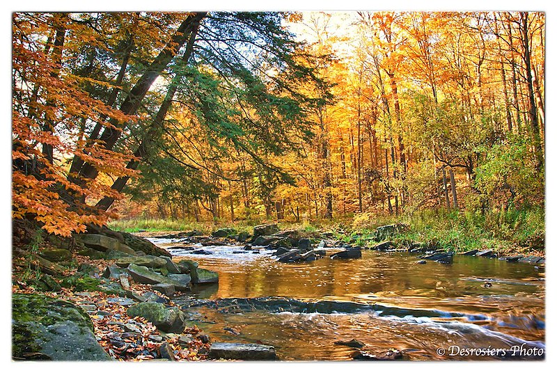
| Description | Vineland, ON |
| Date | 26 October 2009 (according to Exif data) |
| Source | Balls Falls Gorge |
| Author | Brian Desrosiers Photography from Fort Erie, Canada |
| Camera location | | View this and other nearby images on: OpenStreetMap |
|---|
.jpg¶ms=043.159950_N_-079.394401_E_globe:Earth_type:camera_source:Flickr_&language=en)
Licensing
This file is licensed under the Creative Commons Attribution 2.0 Generic license.
- You are free:
- to share – to copy, distribute and transmit the work
- to remix – to adapt the work
- Under the following conditions:
- attribution – You must give appropriate credit, provide a link to the license, and indicate if changes were made. You may do so in any reasonable manner, but not in any way that suggests the licensor endorses you or your use.
| This image was originally posted to Flickr by Brian Desrosiers Photography at https://flickr.com/photos/56054673@N08/6871695862 (archive). It was reviewed on 3 May 2018 by FlickreviewR 2 and was confirmed to be licensed under the terms of the cc-by-2.0. |
File history
Click on a date/time to view the file as it appeared at that time.
| Date/Time | Thumbnail | Dimensions | User | Comment | |
|---|---|---|---|---|---|
| current | 18:16, 3 May 2018 | | 1,024 × 686 (336 KB) | Mindmatrix | Transferred from Flickr via #flickr2commons |
File usage
There are no pages that use this file.
Global file usage
The following other wikis use this file:
- Usage on en.wikipedia.org
- Muskoka River
- Bighead River
- Fall River (Ontario)
- Napanee River
- Scugog River
- Talbot River (Ontario)
- Little Cataraqui Creek
- Catfish Creek (Lake Erie, Elgin)
- Sydenham River (Lake Huron)
- Nine Mile River (Ontario)
- Teeswater River
- Burnt River (Ontario)
- Long Sault
- Head River
- Russell Creek (Ontario)
- German Mills Creek
- Castor River (Ontario)
- Rigaud River
- Conestogo River
- Go Home River
- East Holland River
- Holland River
- Buttermilk Creek (Renfrew County)
- Snake River (Renfrew County)
- Little Mississippi River (Ontario)
- Bronte Creek
- Coyle Creek
- Little AuSable River
- Severn River (Georgian Bay)
- Salmon River (Ontario)
- North York River (Ontario)
- Fenelon River
- Chedoke Creek
- Little Etobicoke Creek
- Kings Creek (Jock River tributary)
- Kings Creek (Mississippi River Ontario)
- Flinton Creek
- Elzevir Creek
- Merrill Creek (Ontario)
- Rainy Creek (Lennox and Addington County)
- Killer Creek (Ontario)
- Little Skootamatta Creek
- Chrysal Creek
- Number Ten Creek
- Sulphide Creek (Hastings County)
- Otter Creek (Hastings County)
- Silver Creek (Huron County, Ontario)
- Buttermilk Creek (Lambton County)
- Peterson Creek (Clyde River tributary)
- Peterson Creek (Cataraqui River tributary)
View more global usage of this file.
.jpg)
.jpg)