File:Kosterhavet Ytre Hvaler National Park topographic map-sv.svg
Jump to navigation
Jump to search

Size of this PNG preview of this SVG file: 417 × 599 pixels. Other resolutions: 167 × 240 pixels | 334 × 480 pixels | 534 × 768 pixels | 712 × 1,024 pixels | 1,425 × 2,048 pixels | 1,625 × 2,336 pixels.
Original file (SVG file, nominally 1,625 × 2,336 pixels, file size: 4.36 MB)
This is a file from the Wikimedia Commons and may be used by other projects. Information from its description page there is shown below.
Commons is a freely licensed media file repository. |
Summary
| Camera location | | View this and other nearby images on: OpenStreetMap |
|---|
| Description |
|
| Date | |
| Source | Translation of File:Kosterhavet Ytre Hvaler National Park topographic map-fr.svg |
| Author | Silverkey (Mickaël Delcey) |
Licensing
I, the copyright holder of this work, hereby publish it under the following license:
This file is licensed under the Creative Commons Attribution-Share Alike 3.0 Unported license.
- You are free:
- to share – to copy, distribute and transmit the work
- to remix – to adapt the work
- Under the following conditions:
- attribution – You must give appropriate credit, provide a link to the license, and indicate if changes were made. You may do so in any reasonable manner, but not in any way that suggests the licensor endorses you or your use.
- share alike – If you remix, transform, or build upon the material, you must distribute your contributions under the same or compatible license as the original.
File history
Click on a date/time to view the file as it appeared at that time.
| Date/Time | Thumbnail | Dimensions | User | Comment | |
|---|---|---|---|---|---|
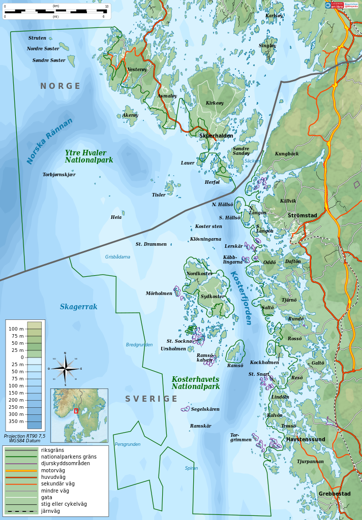
| current | 08:14, 21 December 2011 | | 1,625 × 2,336 (4.36 MB) | Silverkey | Orthographic corrections |
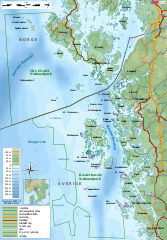
| 17:12, 20 December 2011 |  | 1,625 × 2,336 (4.36 MB) | Silverkey |
File usage
The following page uses this file:
Global file usage
The following other wikis use this file:
- Usage on cs.wikipedia.org
- Usage on en.wikipedia.org
- Usage on fi.wikipedia.org
- Usage on no.wikipedia.org
- Usage on sv.wikipedia.org
- Usage on uk.wikipedia.org