File:Mauritius 23.08.2009 09-19-10.jpg
Jump to navigation
Jump to search
Size of this preview: 800 × 531 pixels. Other resolutions: 320 × 213 pixels | 640 × 425 pixels | 1,024 × 680 pixels | 1,280 × 850 pixels | 2,560 × 1,700 pixels | 4,288 × 2,848 pixels.
Original file (4,288 × 2,848 pixels, file size: 2.73 MB, MIME type: image/jpeg)
This is a file from the Wikimedia Commons and may be used by other projects. Information from its description page there is shown below.
Commons is a freely licensed media file repository. |
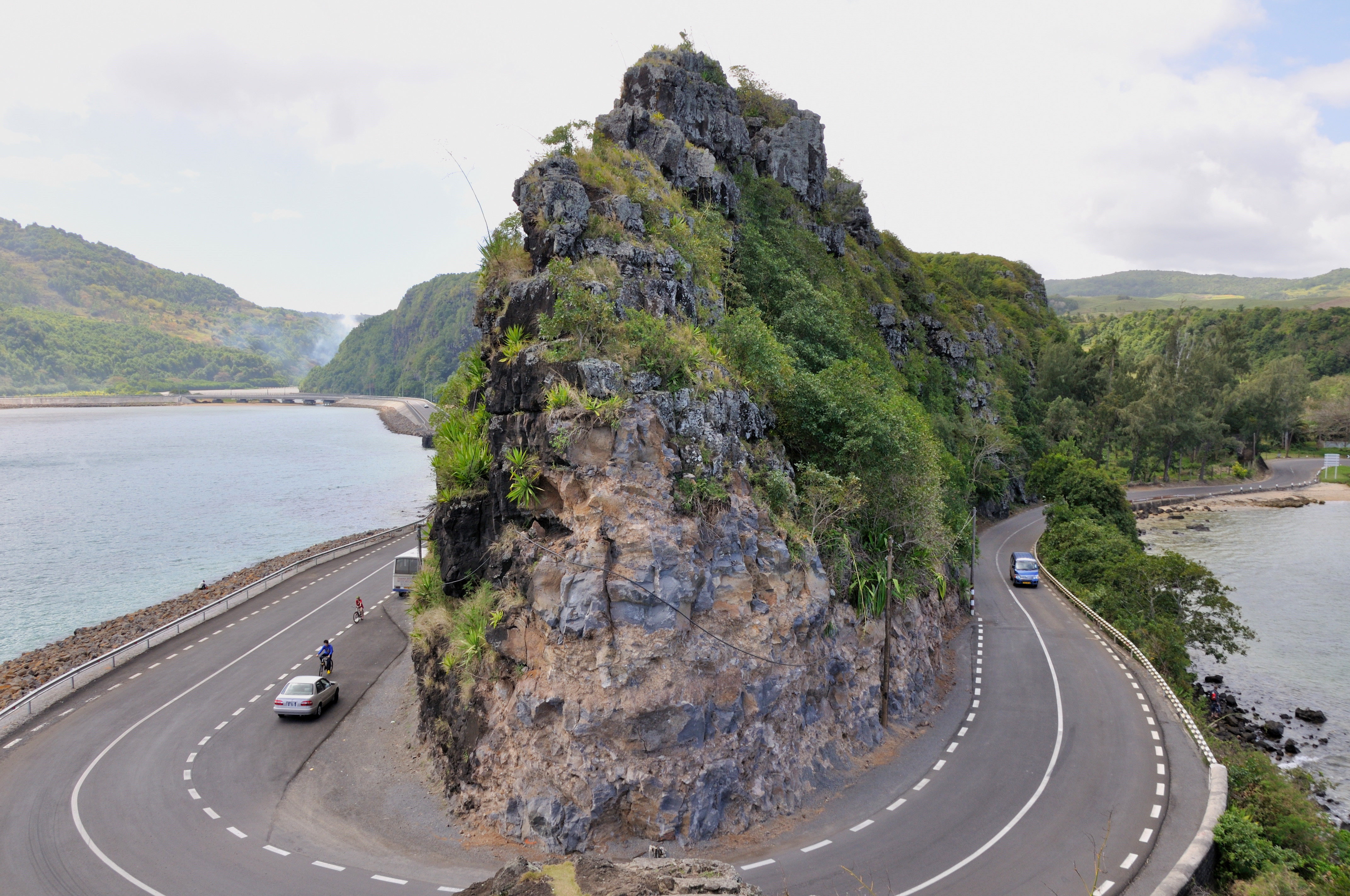
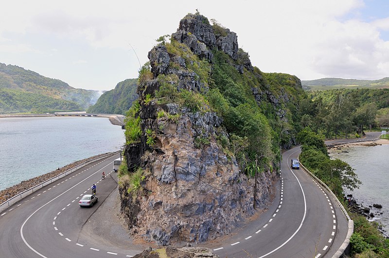
| Description | Baie du Cap |
| Date | |
| Source | Own work Simisa (talk · contribs) |
| Author | Simisa (talk · contribs) |
| Permission (Reusing this file) |
Creative Commons Attribution ShareAlike 3.0 |
| Camera location | | View this and other nearby images on: OpenStreetMap |
|---|
This file is licensed under the Creative Commons Attribution-Share Alike 3.0 Unported license.
- You are free:
- to share – to copy, distribute and transmit the work
- to remix – to adapt the work
- Under the following conditions:
- attribution – You must give appropriate credit, provide a link to the license, and indicate if changes were made. You may do so in any reasonable manner, but not in any way that suggests the licensor endorses you or your use.
- share alike – If you remix, transform, or build upon the material, you must distribute your contributions under the same or compatible license as the original.
File history
Click on a date/time to view the file as it appeared at that time.
| Date/Time | Thumbnail | Dimensions | User | Comment | |
|---|---|---|---|---|---|
| current | 09:54, 10 October 2009 | | 4,288 × 2,848 (2.73 MB) | Simisa | {{Information |Description={{MUS}}, Baie du Cap |Source={{Own}} {{User|Simisa}} |Date=2009-05-22 |Author={{User|Simisa}} |Permission=Creative Commons Attribution ShareAlike 3.0 |other_versions= }} {{cc-by-sa-3.0}} Category:Roads in Mauritius[[Categ |
File usage
The following page uses this file:
Global file usage
The following other wikis use this file:
- Usage on de.wikipedia.org
- Usage on en.wikipedia.org
- Usage on es.wikipedia.org
- Usage on hu.wikipedia.org
- Usage on lt.wikipedia.org